Boating & Navigation Guides
Plain-English guides to reading the water — tides, charts, buoys, and the tools that make navigation easier.
How to Read a Tide Chart: High Tide, Low Tide & Tidal Range
A plain-English guide to reading a tide chart: what high and low tide, tidal range, spring and neap tides, and the MLLW datum mean, and how to use them on the water.
How to Read a Nautical Chart: A Beginner's Guide
Learn to read a nautical chart: soundings and the chart datum, depth colors and contours, buoys and beacons, hazard symbols, and chart scale, all in plain terms.
US Navigation Buoys & Markers Explained (Red-Right-Returning)
US navigation buoys and markers made simple: the IALA-B lateral system, red and green channel marks, red-right-returning, plus safe-water, danger and special marks.
How to Choose the Best Boating Navigation App (2026)
What actually matters in a marine navigation app: official NOAA charts, depth-aware routing, live weather, and offline use, so you can pick the right one for how you boat.
How to Anchor a Boat Safely: A Beginner's Guide
How to anchor a boat: choosing a spot, working out scope, setting and testing the anchor, standing an anchor watch, and weighing anchor without drama.
How to Read a Marine Weather Forecast
How to read a marine forecast: wind speed and direction, wave height and period, and small craft advisories and gale warnings, so you know before you go.
Boating Right-of-Way Rules (COLREGs), Explained Simply
The boating rules of the road in plain terms: give-way vs stand-on, crossing, overtaking and head-on situations, and whether sail really beats power.
How to Plan a Boating Trip: Passage Planning Basics
A simple passage-planning routine: check weather and tides, lay out a safe route, estimate time and fuel, leave a float plan, and set up your bail-out options.
You've got the data. Now put it on your chart.
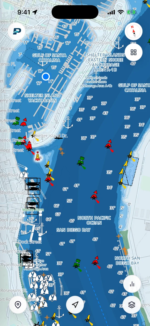
Pathr shows this spot live on a nautical chart, the depth under your keel, wind, tide, and live AIS traffic, all in one place.
Love the free tools? Back us as a Founding member.