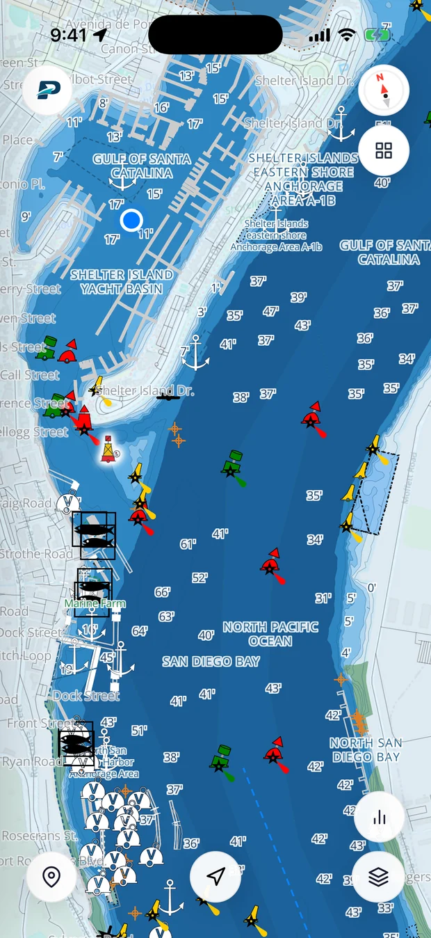
Checking the marine forecast is the habit that separates boaters who have a good day from boaters who get caught out. What it's doing on the water can be nothing like what it's doing in the parking lot. Reading one takes a minute.
Where it comes from
In the US the National Weather Service puts out coastal and offshore forecasts by zone, covering wind, seas, visibility, and any warnings. Apps and websites, Pathr and the tide pages here included, are all pulling from that same official feed.
Wind
Wind is given as the direction it comes from and a speed range in knots, usually with gusts. "SW 15 to 20, gusting 25" is a southwesterly. Two things to keep in your head: wind blowing against the tide stacks the seas up steeper than the numbers suggest, and it's the gusts that knock you around, not the average.
Seas
Wave height on a forecast is normally the significant wave height, roughly the average of the biggest third, so plenty of individual waves come through taller than that. Just as important is the period, the seconds between crests. A short period, waves stacked close together, is a jarring, uncomfortable ride. The same height with a long period is a lazy roll. Watch the period as much as the height.
The warnings, plainly
- Small Craft Advisory: winds around 20 to 33 knots, or rough seas. If your boat is small, this one's aimed at you. Stay in.
- Gale Warning: 34 to 47 knots. That's a day for the harbor.
- Storm Warning and up: dangerous. Don't.
How far to trust it
A marine forecast is solid for the next day or two and gets vaguer after that. Look at which way it's trending, building or easing, and always leave yourself a way out. Pathr puts current wind and waves on the chart with a seven-day outlook next to it, so you can pick your window.