What’s Biting
The fish anglers catch most, by season and by state, straight from NOAA’s recreational catch survey. See what’s running now, when each species peaks, and what people keep.
Know what's running before you launch
Seasonal catch, tides, and the day's conditions worth knowing for your spots, plus the occasional PATHR update. No spam.
Pacific Coast
Atlantic Coast
Gulf Coast
Hawaii & Pacific Islands
Catch data is from NOAA’s Marine Recreational Information Program (MRIP), which covers the Atlantic and Gulf coasts plus Hawaii. Texas, Louisiana, and the Pacific coast (California, Oregon, Washington) run their own surveys, so they are not included here yet. Courtesy: National Oceanic and Atmospheric Administration.
You've got the seasons. Now put the water on your chart.
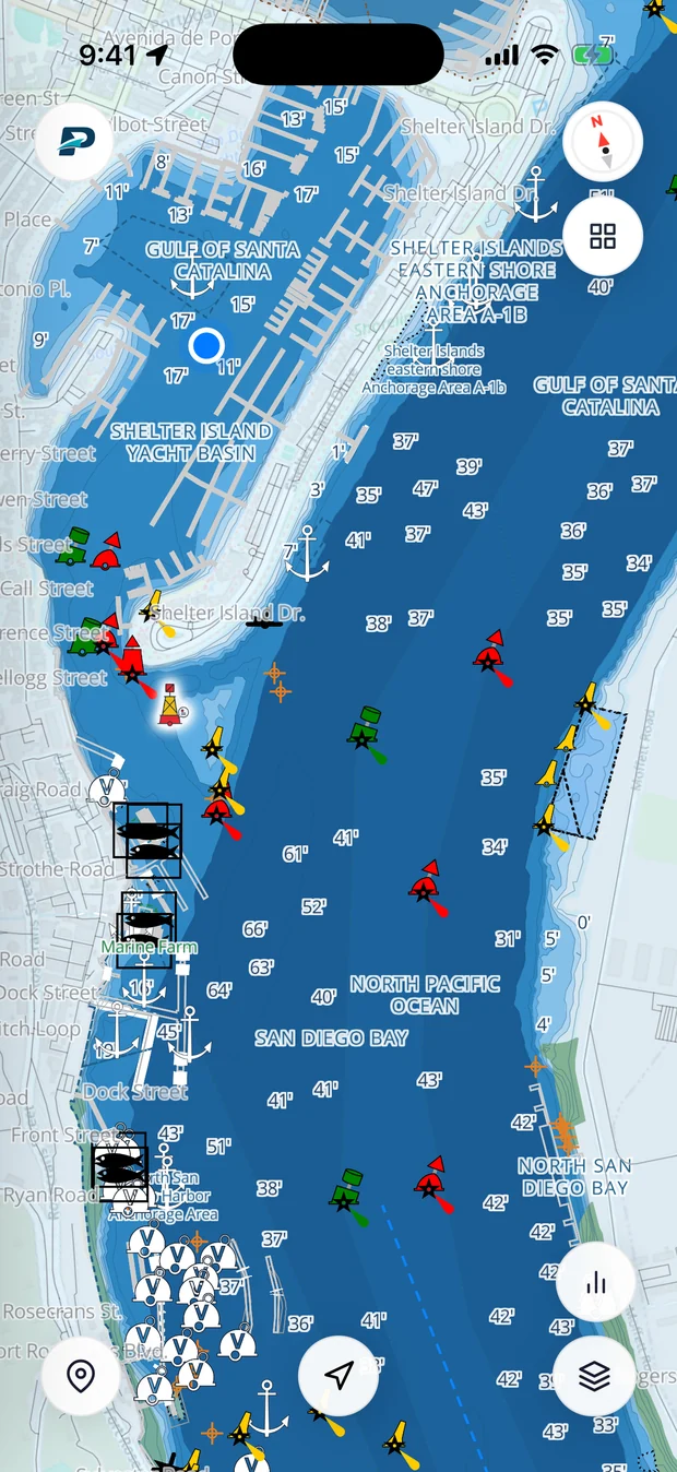
Pathr shows this spot live, the depth under your keel, the tide, wind, and traffic, on one nautical chart.
Love the free tools? Back us as a Founding member.