Coverage
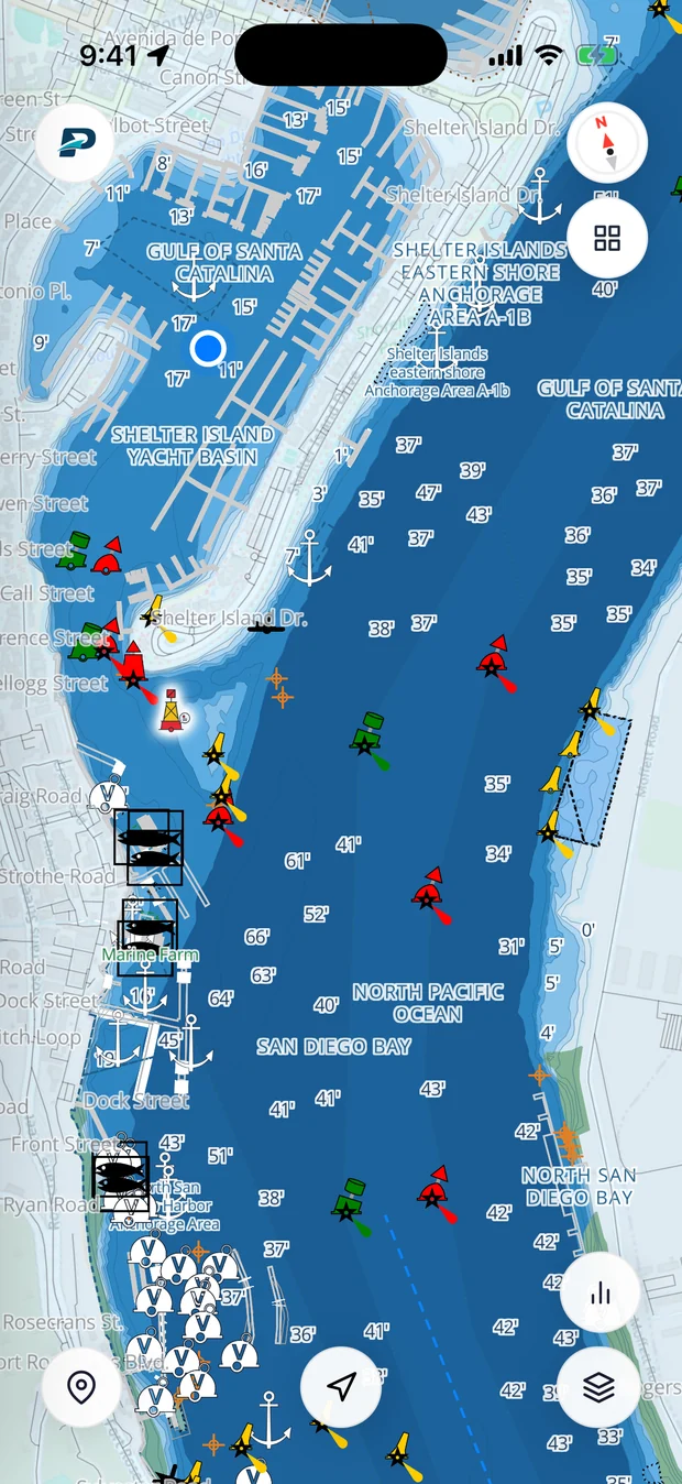
The whole U.S. coastline, in Pathr's own chart.
This is the exact vector chart that ships inside the app: depth-shaded water, hazards, and aids to navigation, rendered live right here. Search for your harbor or pan anywhere we cover.
Everything a paper chart has. Live.
Pathr's chart isn't a picture of the water. It's every layer a captain reads, rendered from official data and ready to route on.
Depth-shaded water
Every foot graded shallow-to-deep, so you read the bottom at a glance.
Live soundings
Spot-depth numbers across the whole chart, not just the channel.
Aids to navigation
Buoys, beacons and lights in full IALA color: reds, greens, cardinals and more.
Hazards, flagged
Wrecks, rocks and obstructions marked exactly where they are.
Anchorages & zones
Anchorage areas, restricted zones and traffic lanes, drawn in.
Marinas, docks & piers
Every slip, pier and breakwater along the waterfront.
Bridges with clearance
Thousands of bridges, each with its vertical clearance for your mast.
Works fully offline
Download once and the whole chart runs with no signal on the water.
Put the whole chart on your boat.
Free to download. Your area, offline, with depth-aware routing on top.
We keep filling in the chart.
Five regions Pathr didn't cover before, now charted from the shoreline out. Here's the real bathymetry.
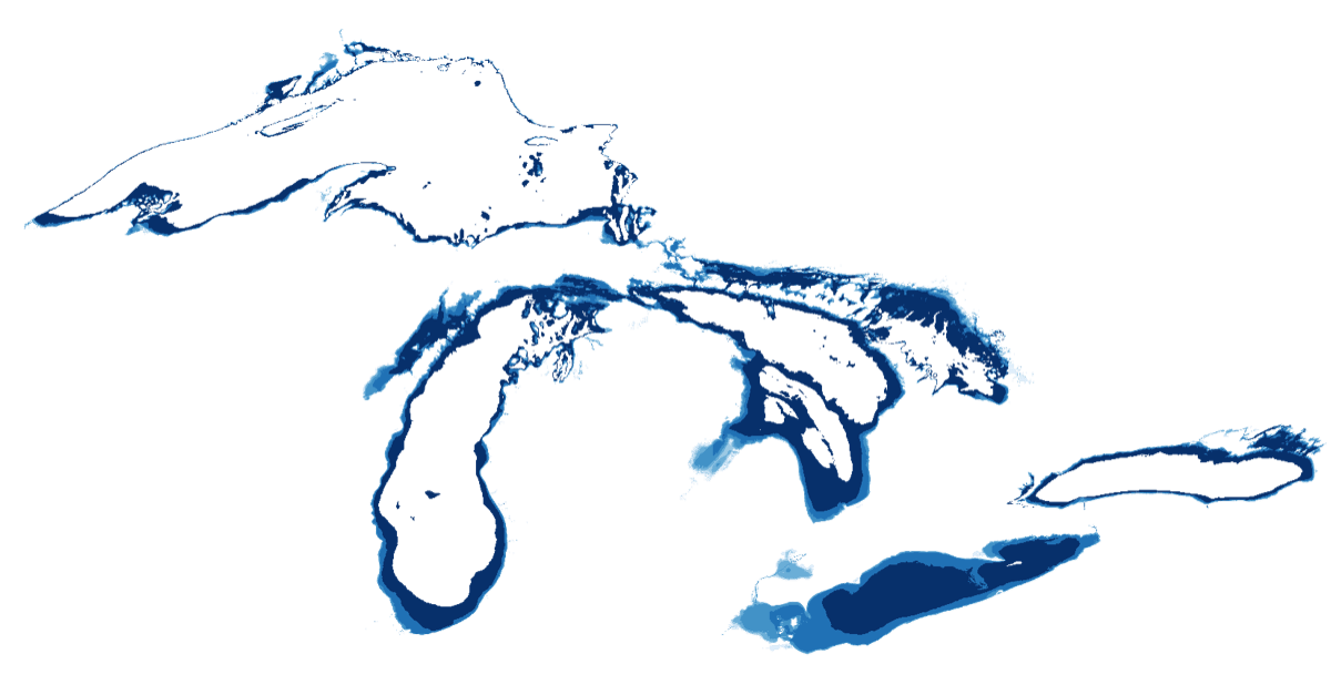
All five lakes + St. Clair
Superior, Michigan, Huron (with Georgian Bay), St. Clair, Erie and Ontario. The nearshore ring is charted on each lake's Low-Water Datum.
NCEI Great Lakes grids
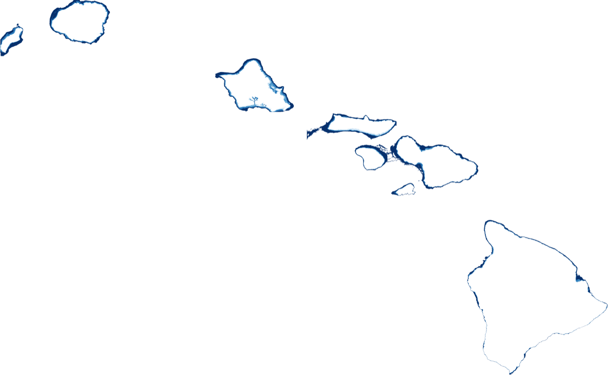
The full island chain
Kauai, Niihau, Oahu (Pearl Harbor's inlet visible), Molokai, Lanai, Maui, Kahoolawe and the Big Island. Every main island now has nearshore depth.
NOAA CUDEM 1/9″ (~3 m)

Astoria to Portland & Vancouver
The Columbia from the Astoria bar up past Longview to the Portland / Vancouver reach. Built from the CUDEM bar tiles and the USACE P260 river survey.
CUDEM + USACE P260
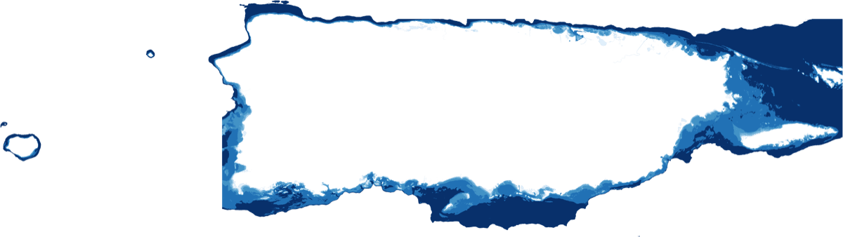
Full island shelf
The whole Puerto Rico coastline and insular shelf, charted at the same resolution as the mainland coasts.
NOAA CUDEM 1/9″
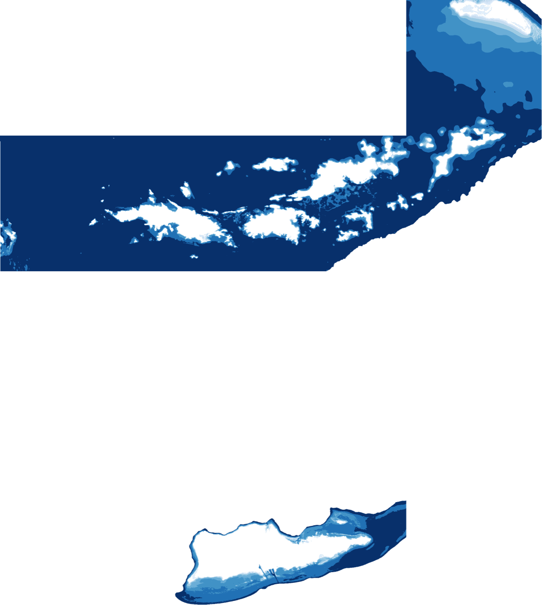
St. Thomas · St. John · St. Croix
All three main U.S. Virgin Islands, from the shoreline out across the shelf, alongside the Puerto Rico territory product.
NOAA CUDEM 1/9″
Built from the data the pros use.
No crowd-sourced guesswork on the safety-critical layers. Pathr is assembled from authoritative government sources.
- NOAA Electronic Navigational Charts (S-57)
- NOAA CUDEM bathymetry (1/9″)
- USACE channel surveys
- NCEI Great Lakes grids
- OpenStreetMap (shoreline & land)
Coverage, answered.
- Is this a real nautical chart?
- Yes. It's built from NOAA's official Electronic Navigational Charts (S-57) plus NOAA and USACE bathymetry, rendered in Pathr's own style. The map above is the exact chart that ships inside the app.
- Do I need cell service on the water?
- No. Download your area once and the entire chart, including depth, hazards and aids to navigation, works fully offline.
- What areas are covered?
- Every U.S. coast, the Great Lakes, major navigable rivers, Hawaii, Puerto Rico and the U.S. Virgin Islands. Search or pan the map above to check your water.
- My spot isn't charted. Can you add it?
- Request it below. We log every request and chart the areas boaters ask for most, first.
- How current is the data?
- We rebuild from the latest NOAA ENC releases and keep adding new bathymetry and coverage.
Request a location
Don't see your water?
Tell us where you sail. We log every request and chart the areas boaters ask for most, first. You'll get an email the moment it's live.
You've got the data. Now put it on your chart.
Pathr shows this spot live on a nautical chart, the depth under your keel, wind, tide, and live AIS traffic, all in one place.
Love the free tools? Back us as a Founding member.