Bridge Clearance Lookup
Enter your air draft and check 927 charted US bridges. See which spans you clear, find the ICW bridges under 65 feet, and for 187 drawbridges get the opening schedule, VHF channel, and how to request an opening.
Measure to your highest fixed point: antenna, mast, hardtop.
Charted clearances are referenced to mean high water from NOAA charts. Real clearance drops at higher-than-normal tides and wind-driven high water, and the bridge’s own clearance gauge shows the least clearance. This is a planning estimate, not a guarantee, confirm at the bridge board and by VHF before passing.
Bridges under 65 feet
Fixed spans charted between 55 and 66 feet, the ones a tall sailboat or sportfish needs to know about. Lowest first.
Drawbridges with opening schedules
Movable bridges with US Coast Guard operating rules, VHF channel, and closed clearance.
Browse bridges by state
Every bridge on your route, checked automatically
Pathr flags any bridge your mast or air draft can't clear, factoring the tide, and routes you safely. Free for your first two months on iOS.
How to read bridge clearance
Vertical clearance is the height between the water and the underside of a bridge. On US charts it is referenced to mean high water (MHW), so the real clearance is lower near high tide and during storm surge, and higher at low tide. Compare it to your boat's air draft (waterline to the highest fixed point, antennas included) and keep a safety margin.
A drawbridge (bascule, swing, lift, or pontoon) opens for vessels that can't clear it closed. To request an opening you hail the bridge tender on VHF-FM Channel 13 (the standard drawbridge channel), sound the required horn signal, or call the posted number. Many drawbridges only open on a schedule or need advance notice, all set by the US Coast Guard in 33 CFR Part 117. Each drawbridge page here shows its specific rule where one exists.
Clearances come from NOAA S-57 electronic charts; drawbridge schedules come from the Coast Guard regulations. Both are references, not a substitute for the posted clearance gauge and current chart. When in doubt, wait for the tender.
You've got the data. Now put it on your chart.
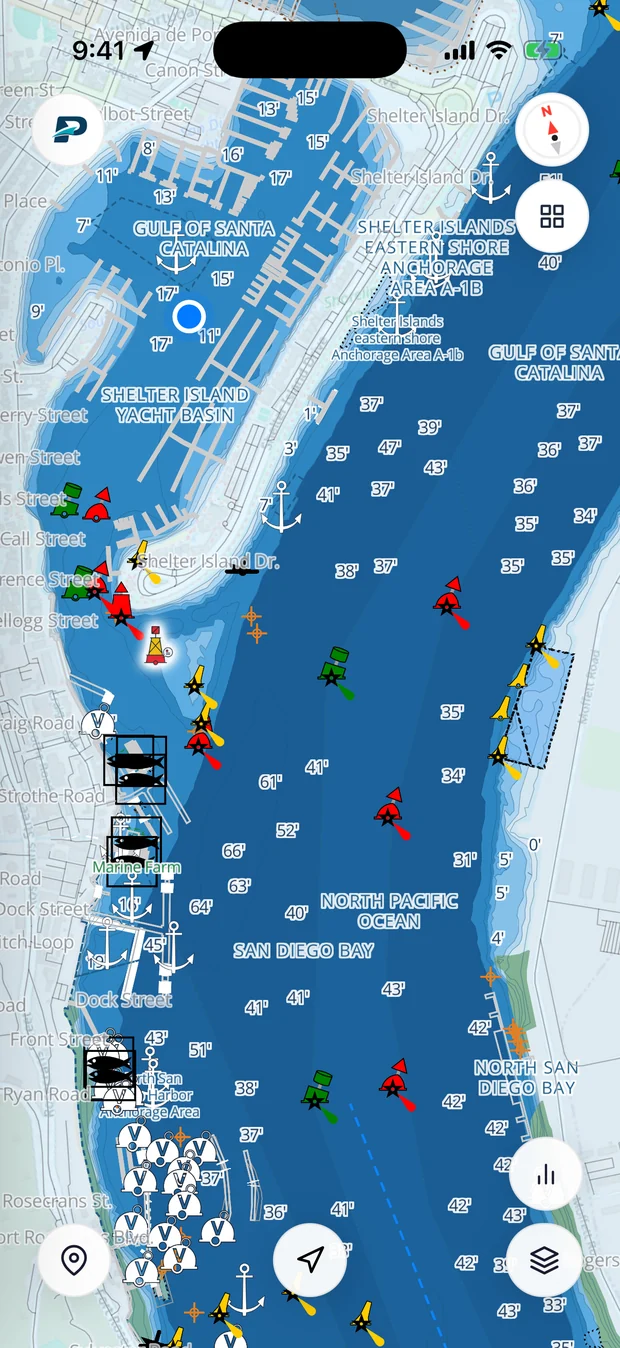
Pathr shows this spot live on a nautical chart, the depth under your keel, wind, tide, and live AIS traffic, all in one place.
Love the free tools? Back us as a Founding member.