90°F is very warm water
Bath-warm. Tropical swimming, watch for a heat-tired body.
Sea temperature drives everything from what fish are biting to how long you can safely stay in. It lags the air by weeks, so a warm day doesn’t mean warm water. Check it before you swim, dive, or head out.
Know before you go
Water temps, tides, and conditions worth knowing for your spots, plus the occasional PATHR update. No spam.
Frequently asked
What is the water temperature at Shell Key Channel, Florida Bay right now?+
The latest reading near Shell Key Channel, Florida Bay, Florida is about 90°F, from Peterson Key, FL buoy PKYF1. Bath-warm. Tropical swimming, watch for a heat-tired body.
Is the water warm enough to swim at Shell Key Channel, Florida Bay?+
At about 90°F the water is very warm. Bath-warm. Tropical swimming, watch for a heat-tired body.
Where does Pathr's water temperature data come from?+
Water temperatures come from NOAA and NDBC sensors. When a spot has no sensor of its own, we use the nearest reporting station. In the Pathr app the temperature shown tracks the station closest to your position on the chart.
Bridge clearances near Shell Key Channel, Florida Bay
Vertical clearance and drawbridge opening schedules for the bridges closest to Shell Key Channel, Florida Bay. Check them against your air draft before you head out.
You've got the water temp. Now get the whole chart.
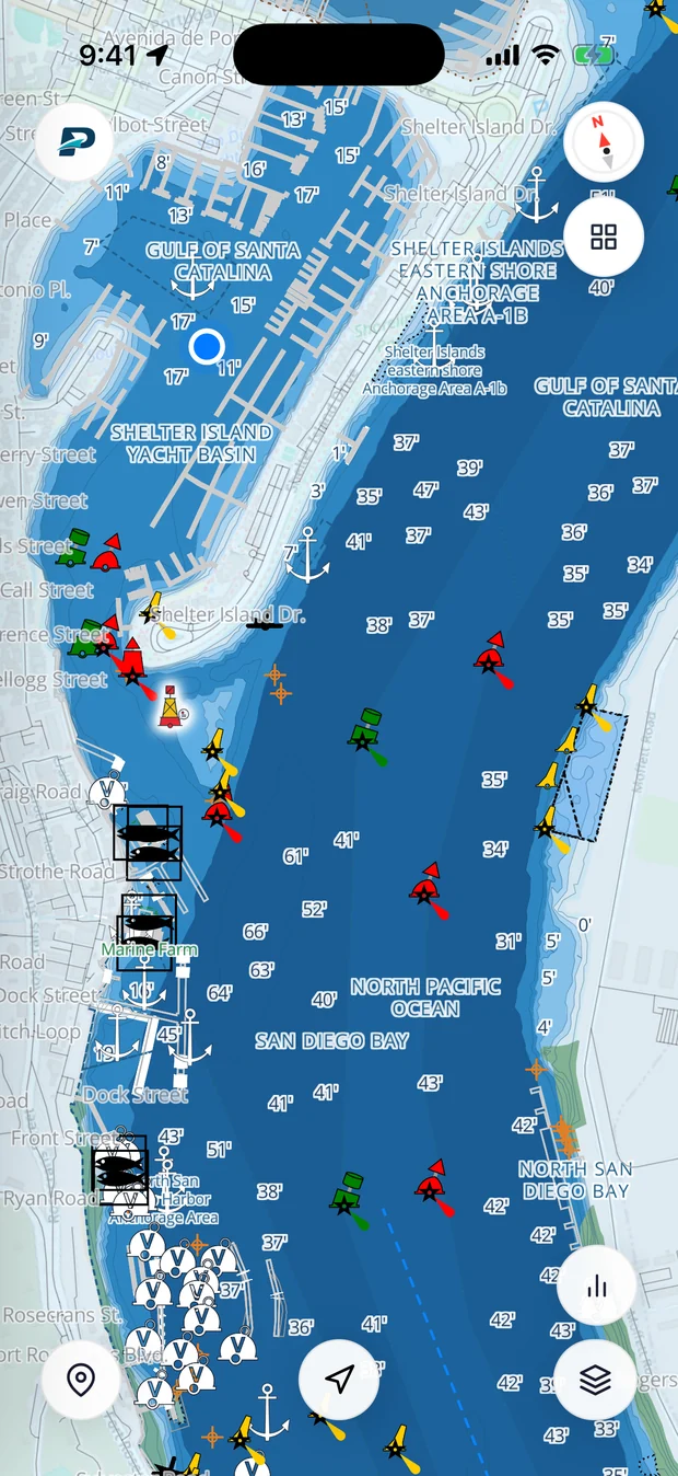
Pathr shows this spot live, depth under your keel, wind, tide, and traffic, on one nautical chart.
Love the free tools? Back us as a Founding member.