Lower Topsaw Landing Tide Chart
South Carolina · NOAA Station 8661299 · 33.608°, -79.152°
Lower Topsaw Landing tide chart for any date
Checking a past trip or planning ahead? Pick any date — past or future — to see the high and low tides, the tidal range, and sunrise & sunset for Lower Topsaw Landing.
Want live wind, waves, and radar right on your chart? See it in Pathr →
This Week’s Tides for Lower Topsaw Landing
High and low tide times and heights (ft, MLLW) for the week ahead.
| Low | 3:11 AM | 0.6 ft |
| High | 8:42 AM | 1.1 ft |
| Low | 3:16 PM | 0.4 ft |
| High | 9:16 PM | 1.2 ft |
| Low | 4:11 AM | 0.5 ft |
| High | 9:47 AM | 1.1 ft |
| Low | 4:21 PM | 0.3 ft |
| High | 10:16 PM | 1.3 ft |
| Low | 5:06 AM | 0.4 ft |
| High | 10:47 AM | 1.2 ft |
| Low | 5:21 PM | 0.2 ft |
| High | 11:09 PM | 1.3 ft |
| Low | 5:56 AM | 0.3 ft |
| High | 11:40 AM | 1.2 ft |
| Low | 6:16 PM | 0.2 ft |
| High | 11:56 PM | 1.3 ft |
| Low | 6:41 AM | 0.2 ft |
| High | 12:27 PM | 1.3 ft |
| Low | 7:07 PM | 0.1 ft |
| High | 12:39 AM | 1.2 ft |
| Low | 7:24 AM | 0.2 ft |
| High | 1:11 PM | 1.3 ft |
| Low | 7:55 PM | 0.2 ft |
| High | 1:20 AM | 1.2 ft |
| Low | 8:05 AM | 0.2 ft |
| High | 1:54 PM | 1.3 ft |
| Low | 8:40 PM | 0.2 ft |
Lower Topsaw Landing Tide Table — Next 30 Days
Every high and low tide for the next month at Lower Topsaw Landing, with heights in feet (MLLW), the daily tidal range, and sunrise & sunset.
| Day | Sunrise | Sunset | Tides (time · ft, MLLW) | Range | |||
|---|---|---|---|---|---|---|---|
| Mon, Oct 5Today | 7:14 AM | 6:56 PM | Low3:11 AM0.6 ft | High8:42 AM1.1 ft | Low3:16 PM0.4 ft | High9:16 PM1.2 ft | 0.8 ft |
| Tue, Oct 6 | 7:14 AM | 6:55 PM | Low4:11 AM0.5 ft | High9:47 AM1.1 ft | Low4:21 PM0.3 ft | High10:16 PM1.3 ft | 1.0 ft |
| Wed, Oct 7 | 7:15 AM | 6:53 PM | Low5:06 AM0.4 ft | High10:47 AM1.2 ft | Low5:21 PM0.2 ft | High11:09 PM1.3 ft | 1.1 ft |
| Thu, Oct 8 | 7:16 AM | 6:52 PM | Low5:56 AM0.3 ft | High11:40 AM1.2 ft | Low6:16 PM0.2 ft | High11:56 PM1.3 ft | 1.1 ft |
| Fri, Oct 9 | 7:17 AM | 6:51 PM | Low6:41 AM0.2 ft | High12:27 PM1.3 ft | Low7:07 PM0.1 ft | — | 1.2 ft |
| Sat, Oct 10 | 7:17 AM | 6:49 PM | High12:39 AM1.2 ft | Low7:24 AM0.2 ft | High1:11 PM1.3 ft | Low7:55 PM0.2 ft | 1.1 ft |
| Sun, Oct 11 | 7:18 AM | 6:48 PM | High1:20 AM1.2 ft | Low8:05 AM0.2 ft | High1:54 PM1.3 ft | Low8:40 PM0.2 ft | 1.1 ft |
| Mon, Oct 12 | 7:19 AM | 6:47 PM | High2:00 AM1.2 ft | Low8:43 AM0.2 ft | High2:34 PM1.3 ft | Low9:24 PM0.3 ft | 1.1 ft |
| Tue, Oct 13 | 7:20 AM | 6:46 PM | High2:39 AM1.1 ft | Low9:20 AM0.3 ft | High3:14 PM1.3 ft | Low10:06 PM0.5 ft | 1.0 ft |
| Wed, Oct 14 | 7:20 AM | 6:44 PM | High3:19 AM1.1 ft | Low9:56 AM0.5 ft | High3:54 PM1.2 ft | Low10:47 PM0.6 ft | 0.7 ft |
| Thu, Oct 15 | 7:21 AM | 6:43 PM | High4:00 AM1.0 ft | Low10:33 AM0.6 ft | High4:36 PM1.2 ft | Low11:30 PM0.8 ft | 0.6 ft |
| Fri, Oct 16 | 7:22 AM | 6:42 PM | High4:44 AM1.0 ft | Low11:12 AM0.7 ft | High5:22 PM1.1 ft | — | 0.4 ft |
| Sat, Oct 17 | 7:23 AM | 6:41 PM | Low12:17 AM0.9 ft | High5:32 AM1.0 ft | Low11:58 AM0.8 ft | High6:13 PM1.1 ft | 0.3 ft |
| Sun, Oct 18 | 7:24 AM | 6:40 PM | Low1:08 AM0.9 ft | High6:25 AM0.9 ft | Low12:52 PM0.9 ft | High7:07 PM1.1 ft | 0.2 ft |
| Mon, Oct 19 | 7:24 AM | 6:38 PM | Low2:01 AM0.9 ft | High7:20 AM1.0 ft | Low1:51 PM0.9 ft | High8:00 PM1.1 ft | 0.2 ft |
| Tue, Oct 20 | 7:25 AM | 6:37 PM | Low2:53 AM0.9 ft | High8:15 AM1.0 ft | Low2:51 PM0.8 ft | High8:53 PM1.1 ft | 0.3 ft |
| Wed, Oct 21 | 7:26 AM | 6:36 PM | Low3:42 AM0.8 ft | High9:10 AM1.0 ft | Low3:50 PM0.7 ft | High9:44 PM1.1 ft | 0.4 ft |
| Thu, Oct 22 | 7:27 AM | 6:35 PM | Low4:29 AM0.6 ft | High10:03 AM1.1 ft | Low4:46 PM0.6 ft | High10:33 PM1.1 ft | 0.5 ft |
| Fri, Oct 23 | 7:28 AM | 6:34 PM | Low5:14 AM0.5 ft | High10:52 AM1.2 ft | Low5:39 PM0.5 ft | High11:18 PM1.2 ft | 0.7 ft |
| Sat, Oct 24 | 7:28 AM | 6:33 PM | Low5:58 AM0.3 ft | High11:38 AM1.2 ft | Low6:31 PM0.3 ft | — | 0.9 ft |
| Sun, Oct 25 | 7:29 AM | 6:32 PM | High12:01 AM1.2 ft | Low6:42 AM0.1 ft | High12:22 PM1.3 ft | Low7:21 PM0.2 ft | 1.2 ft |
| Mon, Oct 26 | 7:30 AM | 6:31 PM | High12:44 AM1.2 ft | Low7:27 AM0.0 ft | High1:06 PM1.4 ft | Low8:11 PM0.2 ft | 1.4 ft |
| Tue, Oct 27 | 7:31 AM | 6:30 PM | High1:29 AM1.2 ft | Low8:13 AM0.0 ft | High1:54 PM1.4 ft | Low9:01 PM0.2 ft | 1.4 ft |
| Wed, Oct 28 | 7:32 AM | 6:29 PM | High2:18 AM1.1 ft | Low9:01 AM-0.1 ft | High2:45 PM1.4 ft | Low9:53 PM0.2 ft | 1.5 ft |
| Thu, Oct 29 | 7:33 AM | 6:28 PM | High3:11 AM1.1 ft | Low9:51 AM0.0 ft | High3:40 PM1.3 ft | Low10:46 PM0.3 ft | 1.3 ft |
| Fri, Oct 30 | 7:34 AM | 6:27 PM | High4:09 AM1.1 ft | Low10:45 AM0.1 ft | High4:41 PM1.3 ft | Low11:44 PM0.4 ft | 1.2 ft |
| Sat, Oct 31 | 7:34 AM | 6:26 PM | High5:13 AM1.0 ft | Low11:44 AM0.2 ft | High5:46 PM1.3 ft | — | 1.1 ft |
| Sun, Nov 1 | 6:35 AM | 5:25 PM | Low12:46 AM0.5 ft | High5:21 AM1.0 ft | Low11:50 AM0.3 ft | High5:52 PM1.2 ft | 0.9 ft |
| Mon, Nov 2 | 6:36 AM | 5:24 PM | Low12:50 AM0.5 ft | High6:29 AM1.1 ft | Low12:59 PM0.4 ft | High6:56 PM1.2 ft | 0.8 ft |
| Tue, Nov 3 | 6:37 AM | 5:23 PM | Low1:51 AM0.4 ft | High7:33 AM1.1 ft | Low2:05 PM0.4 ft | High7:56 PM1.2 ft | 0.8 ft |
About Lower Topsaw Landing tides
Tide predictions for Lower Topsaw Landing come from NOAA station 8661299 (South Carolina), computed from long-term harmonic analysis of observed water levels. Heights are shown in feet relative to MLLW (Mean Lower Low Water) — the same datum used on US nautical charts — so they line up directly with charted depths.
Lower Topsaw Landing typically sees a mixed semidiurnal tide, with two highs and two lows of differing heights each day. Use the curve above to time a harbor entrance, a beach walk, fishing a moving tide, or clearing a shallow bar — and remember that wind and pressure can push the real water level above or below prediction. The daily tidal range in the 30-day table shows how much water moves each day: bigger ranges around the new and full moon mean stronger currents.
The current water temperature near Lower Topsaw Landing is about 79°F, from the nearest reporting buoy (Springmaid Pier, SC buoy MROS1, 14 mi away). Water temperature shapes where fish hold and feed, and tells you what to wear in the water — check it alongside the tide before you head out.
Frequently asked
What time is high tide in Lower Topsaw Landing today?+
Today (Monday, October 5), high tide at Lower Topsaw Landing is at 8:42 AM (1.1 ft), 9:16 PM (1.2 ft). Heights are referenced to MLLW (Mean Lower Low Water).
What time is low tide in Lower Topsaw Landing today?+
Today, low tide at Lower Topsaw Landing is at 3:11 AM (0.6 ft), 3:16 PM (0.4 ft).
What tidal datum do these Lower Topsaw Landing tide heights use?+
All heights are given in feet relative to MLLW (Mean Lower Low Water), the standard NOAA chart datum for US tidal waters. A tide of 0.0 ft equals the chart datum; negative tides fall below it.
How accurate are these tide predictions?+
These are NOAA harmonic predictions — highly accurate for the astronomical tide. Real water levels can still differ with wind, barometric pressure, and storms, so always check current conditions before getting underway.
What is the water temperature at Lower Topsaw Landing?+
The latest sea-surface temperature near Lower Topsaw Landing is about 79°F, from the nearest reporting buoy (Springmaid Pier, SC buoy MROS1, 14 mi away). Water temperature drives fish behavior and tells you what to wear in the water, so it's worth checking alongside the tide.
Nearby tide charts
Bridge clearances near Lower Topsaw Landing
Vertical clearance and drawbridge opening schedules for the bridges closest to Lower Topsaw Landing. Check them against your air draft before you head out.
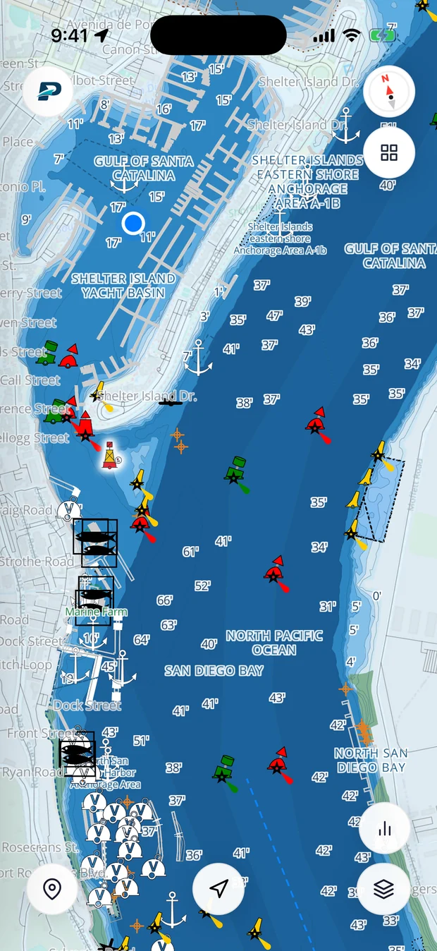
You've got the tide times. Now put them on your chart.
Pathr shows this spot live on a nautical chart, the tide, the depth under your keel, wind, and live AIS traffic, all in one place.
Love the free tools? Back us as a Founding member.
Did this tool help?
We build these for the boating community and keep them free, no signup and no ads. If it saved you some time, you can chip in toward the next one.
One-time, secure checkout by Stripe. No account, no subscription. It’s a tip to a small company, so it isn’t a tax-deductible donation. From $25 it becomes a Founding membership instead.
Or pass it along
Sending this to one boater who needs it helps us more than a few dollars does.
Got a tool you wish existed, or a change to this one? Tell us and we'll build it.