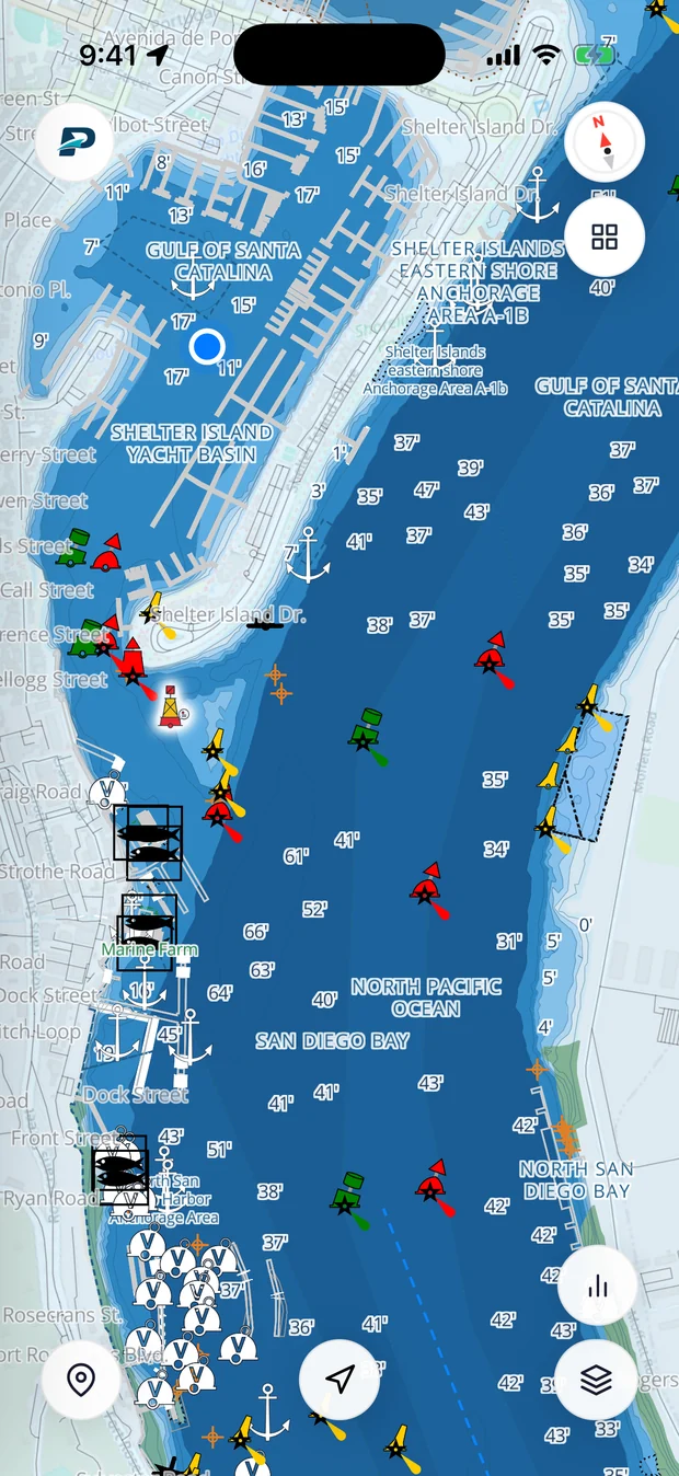
C & O Railway Bridge
Fixed · FixedC & O Railway Bridge is a fixed bridge; its vertical clearance is not charted here.
Clearances are from NOAA charts, referenced to mean high water. Actual clearance is lower at higher tides and storm surge. Always confirm against your vessel's air draft and the posted clearance gauge before transiting.
Know every bridge before you get there
Pathr checks C & O Railway Bridge and every bridge on your route against your boat's air draft, with live tides, NOAA charts and safe routing. Free for your first two months on iOS.
Frequently asked
What is the clearance under C & O Railway Bridge?+
The vertical clearance for C & O Railway Bridge is not charted in this dataset. Check the current NOAA chart before transiting.
Nearby bridges
You've got the data. Now put it on your chart.
Pathr shows this spot live on a nautical chart, the depth under your keel, wind, tide, and live AIS traffic, all in one place.
Love the free tools? Back us as a Founding member.